The course explains the use of Docker to deploy and scale applications in geographic information systems (GIS). Docker enables the creation of isolated environments, called containers, that run independently of the operating system. These containers make it easier to develop, deploy and experiment with GIS tools and data. It will be shown how to use Docker to create a unified software environment for web services and analysis platforms such as Jupyter Notebook to perform spatial analyses efficiently and without extensive software installations. Docker thus ensures a consistent and flexible working environment in the GIS sector.
Lessons on Spatial Data Infrastructure
The OER4SDI project aims to develop and publish a collection of CC-licensed teaching materials. These materials are intended for students in study programs such as geoinformatics, geodesy and geomatics. They cover the architecture, implementation and use of spatial data infrastructures, including their conceptual, technical and legal foundations as well as approaches to development and governance at different levels.
RUBCheck Biology
The RUBCheck Biology is an online self-test with which you can inform yourself about this field of study and determine your own strengths as well as areas where you need to catch up.
The AAA data model
How much forest area is there in a district? How well is a municipality provided with daycare centers? Where might there be gaps in basic medical care? These are all questions that require spatial data to answer. Such geodata is available throughout Germany in the form of basic geodata. In the AFIS-ALKIS-ATKIS data model, this data is organized and made available to users.
CDEC: Climate Data Entrepreneurial Club
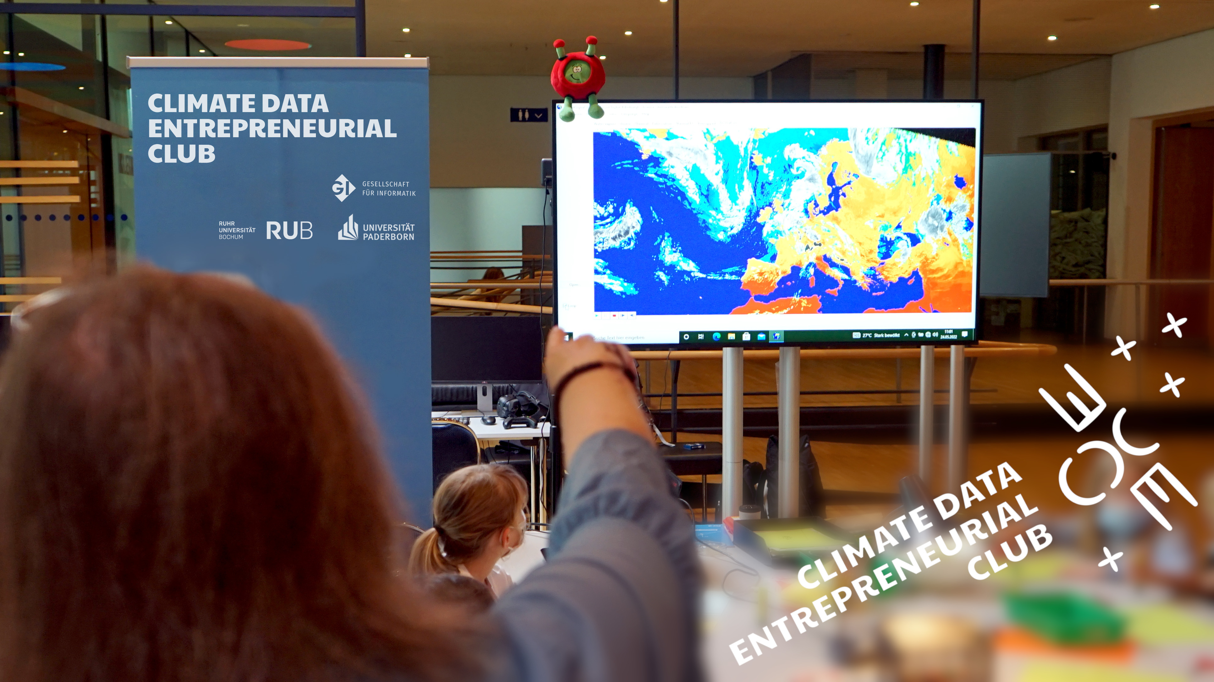
In future, the CDEC website will provide teaching materials and learning modules on the topics of digital, AI and (geo)data skills. The content focuses on the processing of climate data and the development of solutions to combat climate change.
Columbus Eye & LEIA
The Columbuseye / LEIA website contains various teaching materials and further background information on the topics of remote sensing, the Moon and the Earth-Moon system, which have been prepared interactively for students and teachers.
Remote Sensing in Schools
The "Remote Sensing in Schools" (FIS) project is an educational initiative that focuses on the use of remote sensing technologies in schools to impart knowledge and skills to students in this field.
Earth observation: EO-College
EO College is an educational platform specializing in Earth Observation (EO). It offers a comprehensive range of resources and courses designed to educate students, professionals, and enthusiasts about the world of Earth observation.
ESERO Germany
The ESERO Germany is a joint project of ESA and the German Aerospace Centre (DLR). The Ruhr-University Bochum and a committed consortium of ten institutions from North Rhine-Westphalia were awarded the contract to set up the ESERO office. The ESERO project develops teaching materials, offers training for teachers on space topics such as Earth observation, navigation, communication and space exploration and participates in national school competitions and projects organised by ESA and DLR.